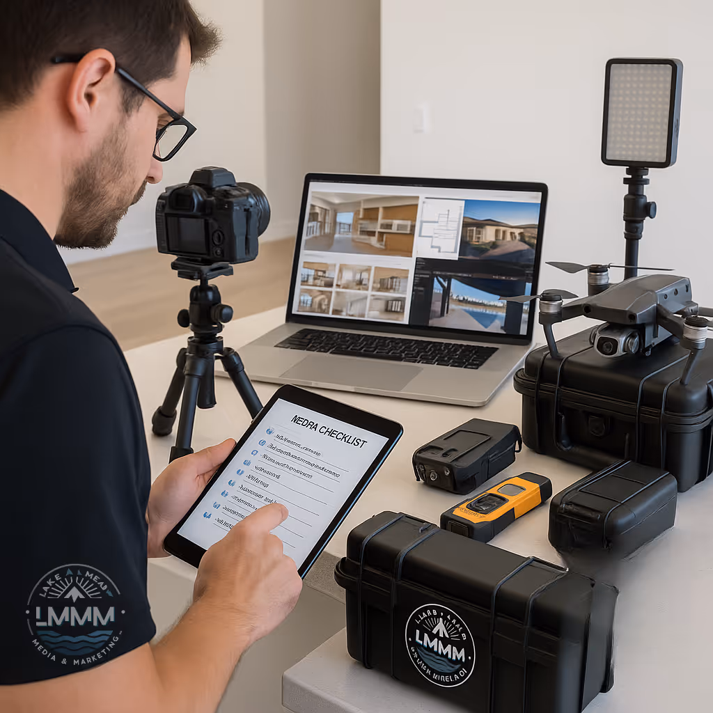
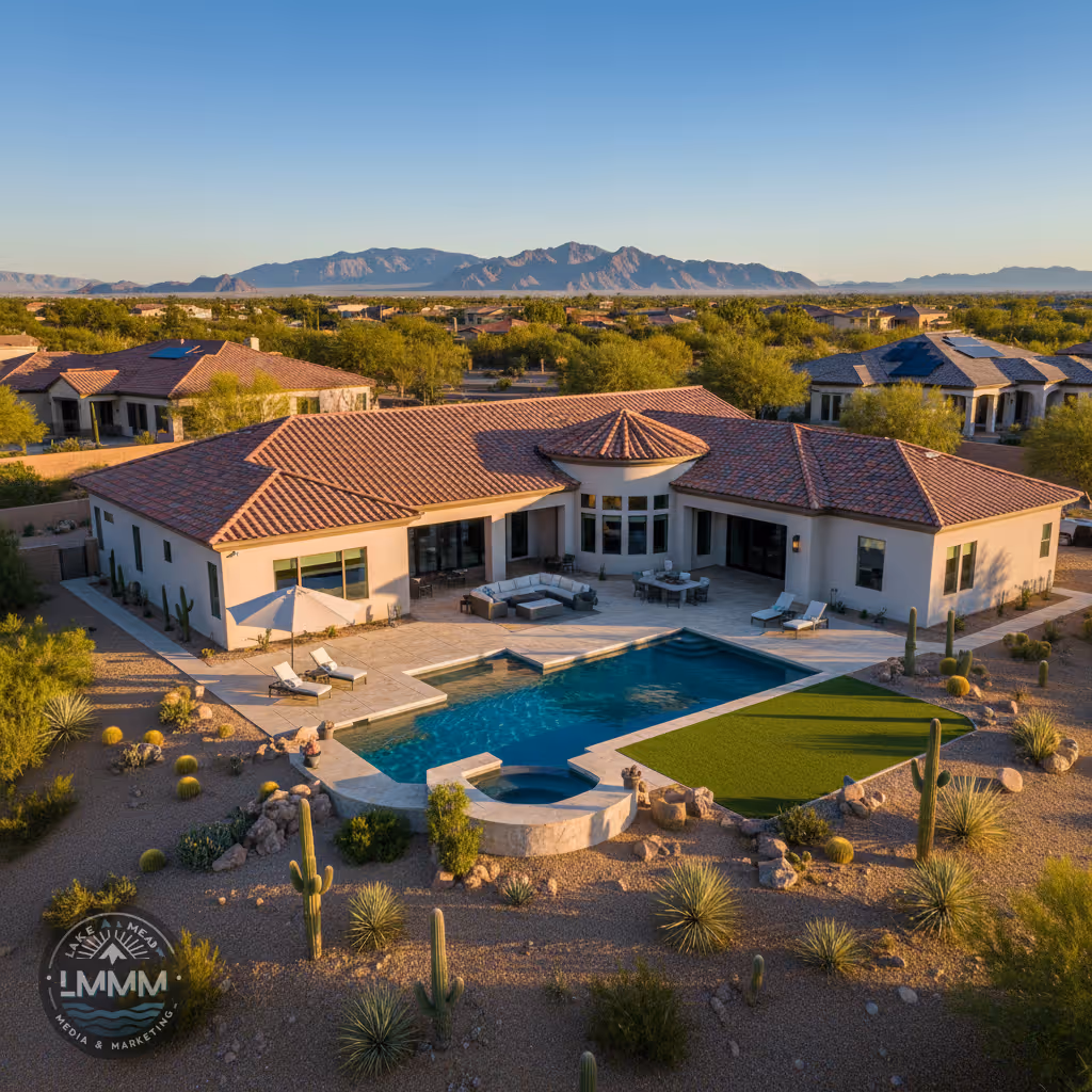
Las Vegas Drone Photography for Real Estate: Airspace, HOAs, and What Buyers Click
Complete guide to Las Vegas drone real estate photography. FAA Part 107 certified pilots navigate Nevada airspace, HOA permissions, and capture aerial shots that make buyers click and schedule showings.
Las Vegas Drone Photography for Real Estate
Airspace navigation, HOA compliance, and aerial shots that make buyers click
Drone photography has become essential for competitive real estate marketing in Las Vegas, where properties with pools, mountain views, and large lots benefit dramatically from aerial perspectives. However, Southern Nevada's complex airspace, strict HOA regulations, and extreme weather conditions require professional expertise that goes far beyond basic drone operation. This comprehensive guide explains when drone photography adds value, how to navigate legal requirements, and what aerial shots actually convert browsers into buyers across the Las Vegas valley.
When Drone Photography Transforms Listings
Aerial shots that make the difference between scrolling past and clicking for more
Large Lots and Acreage
Properties over half an acre in areas like Henderson hills or North Las Vegas benefit enormously from aerial shots that show true lot size, boundaries, and mature landscaping. Ground level photos simply cannot convey the scale that drives buyer interest and justifies premium pricing.
Pool and Outdoor Living
Las Vegas properties with pools, spas, outdoor kitchens, and entertainment areas showcase beautifully from above. Aerial shots capture the complete outdoor lifestyle that ground photography fragments into multiple images, creating that "wow factor" that stops scrollers.
Scenic Location Context
Properties near Red Rock Canyon, with Spring Mountain views, or showcasing Strip proximity benefit from aerial context shots. Buyers need to visualize not just the home, but the complete lifestyle and location advantages that justify Las Vegas premium pricing.
Nevada Airspace: What Every Agent Needs to Know
Harry Reid International Airport
Class B airspace extends 30 nautical miles from the airport, covering most of the Las Vegas valley. Professional drone operations require LAANC authorization for flights in this controlled airspace, with approval times ranging from immediate to several hours depending on location and altitude.
Nellis Air Force Base
Military operations create additional restricted zones, particularly affecting North Las Vegas properties. Professional pilots coordinate with military flight schedules and understand temporary flight restrictions that can impact shooting schedules.
Strip No-Fly Zones
The Las Vegas Strip and downtown areas have specific restrictions due to helicopter tour routes and special events. Condo and high-rise photography often requires creative positioning and specialized authorization to capture compelling aerials legally.
Lake Mead National Recreation Area
Properties near Lake Mead, Boulder City, and Henderson waterfront areas fall under National Park Service jurisdiction, requiring special authorization for commercial drone operations and advance coordination for optimal shooting windows.
HOA Navigation and Community Relations
Professional protocols that prevent delays and maintain community relationships
Summerlin and Master-Planned Communities
Summerlin South communities often have strict architectural and privacy guidelines that extend to aerial photography. Professional drone operators coordinate with HOA management companies, provide certificates of insurance, and schedule flights during approved hours to maintain positive relationships essential for ongoing business in these premium neighborhoods.
Gated Community Protocols
High-end gated communities in Henderson and Las Vegas require advance notification, guest registration, and often escorts during drone operations. Professional teams handle this coordination seamlessly, ensuring shoots proceed on schedule while respecting security protocols that protect residents and property values.
Privacy and Neighbor Relations
Professional drone photography focuses on the subject property while respecting neighbor privacy. Experienced pilots understand optimal angles, altitude restrictions, and timing that captures compelling aerials without creating community tensions that could impact future listings or seller relationships.
Aerial Shots That Convert Browsers to Buyers
Data-driven insights on what aerial photography actually drives engagement
78%
Higher Click-Through Rate
Listings with aerial pool and outdoor living shots generate significantly more engagement than ground-level-only galleries
3.2x
More Showing Requests
Properties with drone photography showcasing lot size and location context receive substantially more qualified showing requests
23%
Faster Sales
Comprehensive aerial coverage helps properties sell faster by allowing buyers to visualize the complete lifestyle offering
Nevada Weather and Safety Protocols
Wind Threshold Management
Las Vegas experiences frequent high winds, especially during spring months. Professional operations maintain strict safety protocols with flight cancellations when winds exceed 25 mph, protecting equipment and ensuring optimal image quality.
Summer Heat Operations
Extreme summer temperatures affect battery performance and operator safety. Professional teams schedule morning flights before 10am or evening sessions after 6pm, maintaining optimal equipment performance while ensuring pilot safety.
Monsoon Season Planning
July through September brings sudden thunderstorms and microbursts to Southern Nevada. Experienced pilots monitor radar continuously and maintain flexible scheduling to accommodate rapid weather changes while meeting listing deadlines.
Optimal Lighting Windows
Desert lighting creates unique opportunities and challenges. Golden hour aerials showcase properties beautifully, but require precise timing coordination with ground photography to maximize the complete media package efficiency.
Professional Drone Specifications
Equipment Standards
Professional-grade drones with 4K video capability, mechanical gimbals for stability in desert winds, and obstacle avoidance systems for safe operation near homes and landscaping. Redundant battery systems ensure completion of planned shots.
Certification Requirements
FAA Part 107 Remote Pilot Certificate holders with current medical endorsements and continuing education. All aircraft registered with the FAA and operated according to federal and Nevada state regulations for commercial operations.
Insurance Coverage
Comprehensive liability coverage including aircraft hull insurance, general liability, and professional indemnity protection. Certificates of insurance provided to HOAs, property management companies, and listing agents as required.
Post-Production Standards
Color correction optimized for Nevada's unique lighting conditions, horizon leveling, and perspective correction. Raw file processing ensures maximum dynamic range capture for both bright skies and shadowed areas common in desert environments.
Elevate Your Las Vegas Listings with Professional Drone Photography
Professional drone photography that showcases Las Vegas properties from their most compelling angles while maintaining full compliance with Nevada airspace regulations and HOA requirements.